

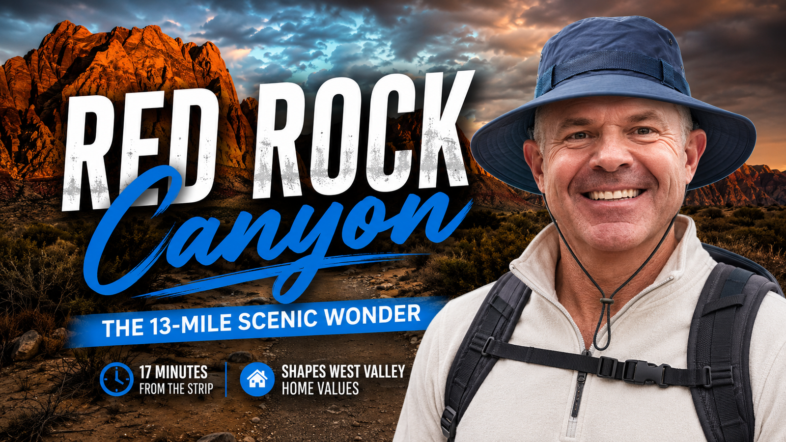
Red Rock Canyon: The 13-Mile Scenic Wonder 17 Minutes From the Strip That Shapes West Valley Home Values
The sandstone escarpment at the edge of the Mojave didn't get its red color from marketing. It's iron oxide baked into Aztec sandstone over 65 million years — the same geological drama that makes a drive down Charleston Boulevard feel like leaving one world entirely and entering another. And that's exactly 17 miles from the neon.
Red Rock Canyon: The 13-Mile Scenic Wonder 17 Minutes From the Strip That Shapes West Valley Home Values is more than a scenic detour. For west-valley homeowners and buyers, it's a permanent fixture on the skyline that no developer can ever touch — and that immutability is priced into every listing with a canyon view.
Nevada's First National Conservation Area (and What That Actually Means)
In 1990, Congress passed special legislation — championed by Nevada's own congressional delegation — that elevated the Red Rock Recreation Lands to a National Conservation Area, the seventh such designation in the country and the first in Nevada. That legal status is the key detail most people miss.
A National Conservation Area isn't just a park. It's a permanent federal land classification managed by the Bureau of Land Management, with strict limits on development. The ridgelines visible from Summerlin — the Howard Hughes-developed master-planned community that borders Red Rock to the east — are not going to sprout a subdivision or a strip mall. That's not optimism. That's federal law.
For anyone buying a home in the west valley, that distinction has real financial weight.
What the 13-Mile Scenic Loop Actually Delivers
Most Las Vegas residents have driven it at least once. Plenty do it monthly. The one-way, 13-mile scenic drive through Red Rock Canyon National Conservation Area opens daily at sunrise and winds through terrain that looks almost fictional — burnt-orange and cream-colored formations rising 3,000 feet above the valley floor, with pullouts for photographers, picnickers, and anyone who needs a reset from city life.
Beyond the auto tour, the area offers:
• More than 30 miles of hiking trails ranging from a 20-minute loop to a full-day technical scramble
• World-class rock climbing on faces that draw climbers from across the country
• Mountain biking and road cycling routes along Calico Hills and beyond
• Horseback riding through designated corridors
• A visitor center with geology exhibits, a bookstore, and rotating educational programs
• Mojave Max — the desert tortoise who serves as the Clark County mascot for desert conservation awareness, living at the visitor center
Locals know the canyon can hit capacity on peak weekend mornings. The BLM implemented a timed-entry reservation system for the scenic drive during high-demand periods. If you haven't gone recently, check the official site before you go.
Why Canyon Proximity Drives West Valley Home Values
This is where Red Rock Canyon: The 13-Mile Scenic Wonder 17 Minutes From the Strip That Shapes West Valley Home Values stops being a travel story and becomes a real estate conversation.
In most markets, a view is a negotiable amenity — subject to future development. A new building goes up, the view is gone, and so is the premium. Red Rock doesn't work that way. The protected land status creates what appraisers call a view corridor that is legally permanent. Buyers in Summerlin's higher elevations — particularly in guard-gated communities like The Ridges, where custom homes have sold well above the $2 million mark — are partly paying for sightlines that will look identical in 50 years.
The Ridges, perched at the western edge of Summerlin, was specifically master-planned to maximize canyon-facing orientation. Lots were graded and streets were curved to open views toward the escarpment. That's not accidental — Howard Hughes Corporation understood what permanent open space does to long-term land value.
Beyond the ultra-luxury tier, the canyon effect ripples outward. Homes in Summerlin's west villages — areas closer to Town Center Drive and the 215 — carry measurable premiums over comparable square footage on the east side of the community, partly because of canyon access time and partly because of the visual presence of Red Rock on the horizon.
For buyers comparing Las Vegas neighborhoods, the canyon proximity question is worth asking specifically: How far is this address from Charleston Boulevard? How many minutes to the scenic loop entrance? Those details are calculable and they matter to resale.
Why It Matters Today
Red Rock Canyon: The 13-Mile Scenic Wonder 17 Minutes From the Strip That Shapes West Valley Home Values is a permanent part of the Las Vegas story — geologically, recreationally, and economically. As the valley continues to grow east and south, the west-valley land constraint becomes more meaningful, not less. There's no more developable land between the canyon boundary and existing Summerlin neighborhoods. That scarcity is structural.
For homeowners already in the west valley, that's a long-term asset. For buyers considering where to put roots in the Las Vegas metro, it's a factor worth understanding before you sign.
Kirby Scofield and the team have sold across the entire valley — from east Henderson to the edges of Red Rock. If you want a frank read on where west-valley value is concentrated and why, that's a conversation worth having.
Frequently Asked Questions
How far is Red Rock Canyon from the Las Vegas Strip?
Red Rock Canyon National Conservation Area is approximately 17 miles west of the Las Vegas Strip via Charleston Boulevard (State Route 159). Drive time is typically 25 to 35 minutes depending on traffic, though residents of western Summerlin can reach the scenic loop entrance in considerably less time.
Does Red Rock Canyon's protected status affect nearby home values?
Yes, in a meaningful way. Because Red Rock was designated as Nevada's first National Conservation Area under federal law in 1990, the land cannot be developed. That permanence eliminates the view-obsolescence risk that affects property premiums in other markets, making canyon-facing lots and view-corridor properties in western Summerlin a more durable long-term asset than comparable views elsewhere.
What is Mojave Max and where can you see him?
Mojave Max is a desert tortoise who lives at the Red Rock Canyon visitor center and serves as the Clark County mascot for Mojave desert conservation education. He's particularly well known among local schoolchildren through Clark County's annual "Mojave Max Emergence" program, which tracks when he wakes from winter brumation each spring as a signal of the changing desert season.